

Taking
each flight
Above & Beyond.
At Skeye Atlantic, we specialize in Drone Mapping, 3D Modeling, and Aerial Inspections through the latest drone technologies. We pride ourselves in delivering precise data solutions to ensure your company’s success.
Skeye Atlantic Solutions

Mapping
Aerial data is collected then processed through photogrammetry to create survey-grade maps. This accuracy allows for site planning, documentation, and volumetric measurements.

3D Modeling & Digital Twins
Assets are digitized through processed aerial imagery. These detailed 3D models can be used for inspections, planning, and documentation.

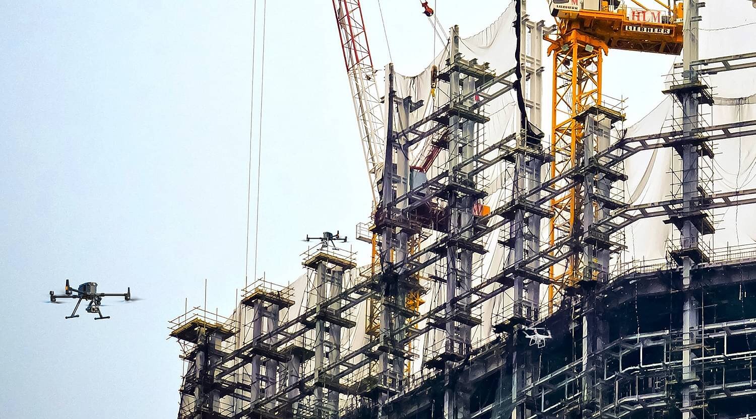
Aerial Inspections
Drone inspections decrease time and costs compared to more traditional ways. Efficiency and safety increase while obtaining more precise data at the same time.


