Mapping
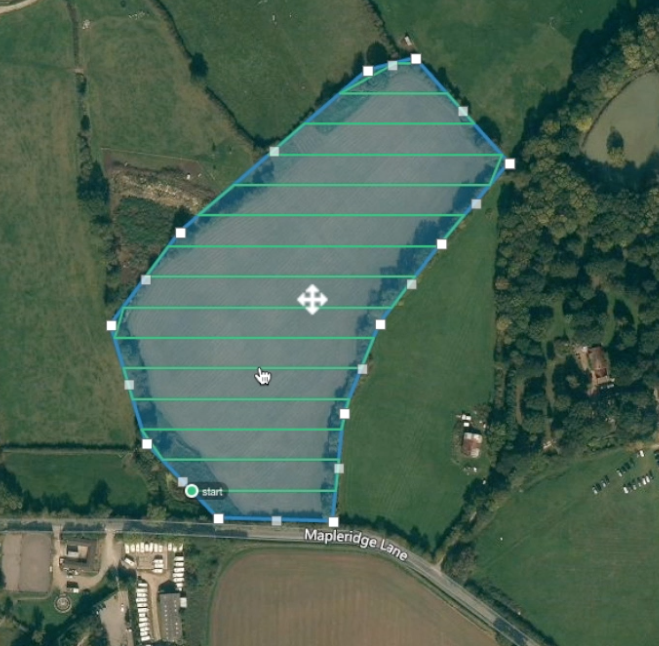
Through Photogrammetry, multiple overlapping photos of the ground below are captured as the aircraft flies along a specified flight path. With this precise data, Skeye Atlantic can process high resolution 2D & 3D maps for clients to view from anywhere.
Orthomosaic Maps
Producing high-quality orthomosaic maps involves detailed flight planning and data organization. These 2D maps help our clients plan, organize, and identify potentially hazardous issues. When developing a flight path for a project we focus on:
High-resolution imagery – Flying at a lower altitude allows for collection of quality images. These images are then stitched together to produce an orthomosaic.
True Birds Eye View – These maps are processed from tens or hundreds of photos creating a detailed view from above.
Volumetric Measurements
Measurements can be taken of various stockpiles with the use of Photogrammetry. This is an accurate and cost-effective method of analyzing volumes on your maps.
Stockpile Inventory Management - Stockpile inventory data improves worksite operations to:
Prepare more accurate financial forecasts
Improve supply chain efficiency
Reduce costly write-offs or change orders


